
Northern Coast Reference Map

Preserved Towers by Place

Use this coast-by-coast reading map to locate preserved lighthouse sites, connect each point with its historical record, and follow the shoreline narrative from harbor entries to exposed headlands.
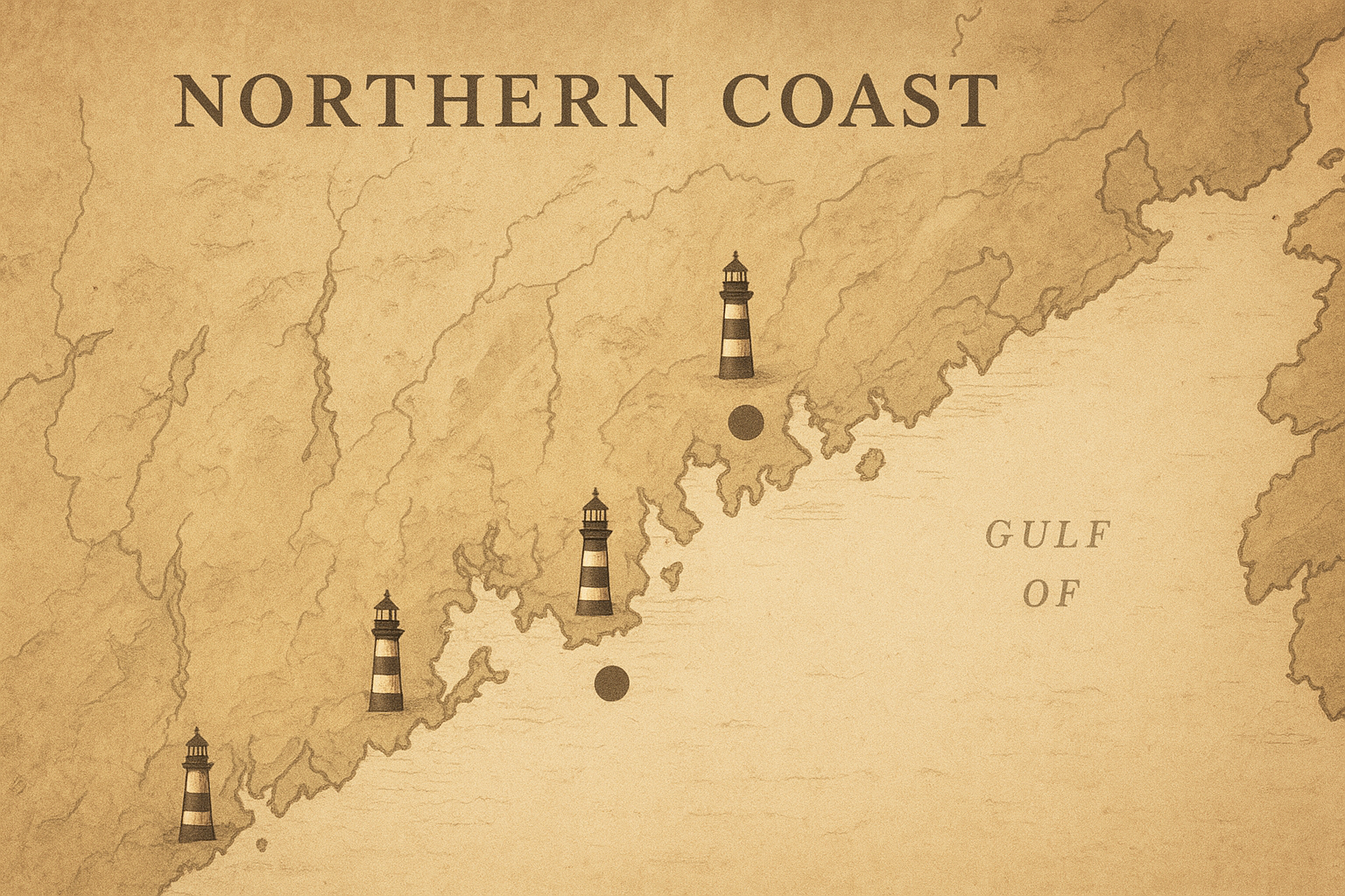
Illustrated northern coastline map with preserved lighthouse points, in warm archival tones with shoreline contours and harbor labels
Map plate: preserved lighthouse corridor and documented approach points, arranged west-to-east for place-based browsing.